California road trip in summer : San Diego “Anza-Borrego Desert State Park”

(San Diego) Nowadays, SUVs (Sport Utility Vehicles) are very popular to many motorists as their family cars as well, but a large number of the SUV owners have never gone off-road. If you are one of them, you might have been missing all the fun of driving in which the regular vehicle cannot reach, like flying down the dirt road, sand dune, snow, mud, and crossing the stream or climbing over the rocks.
For going off-road, you need a vehicle with four wheel drive, higher ground clearance, and bigger tires. Some rough terrain trails require the vehicles installed with interlocks or I-lockers which most of the SUVs are not equipped with.
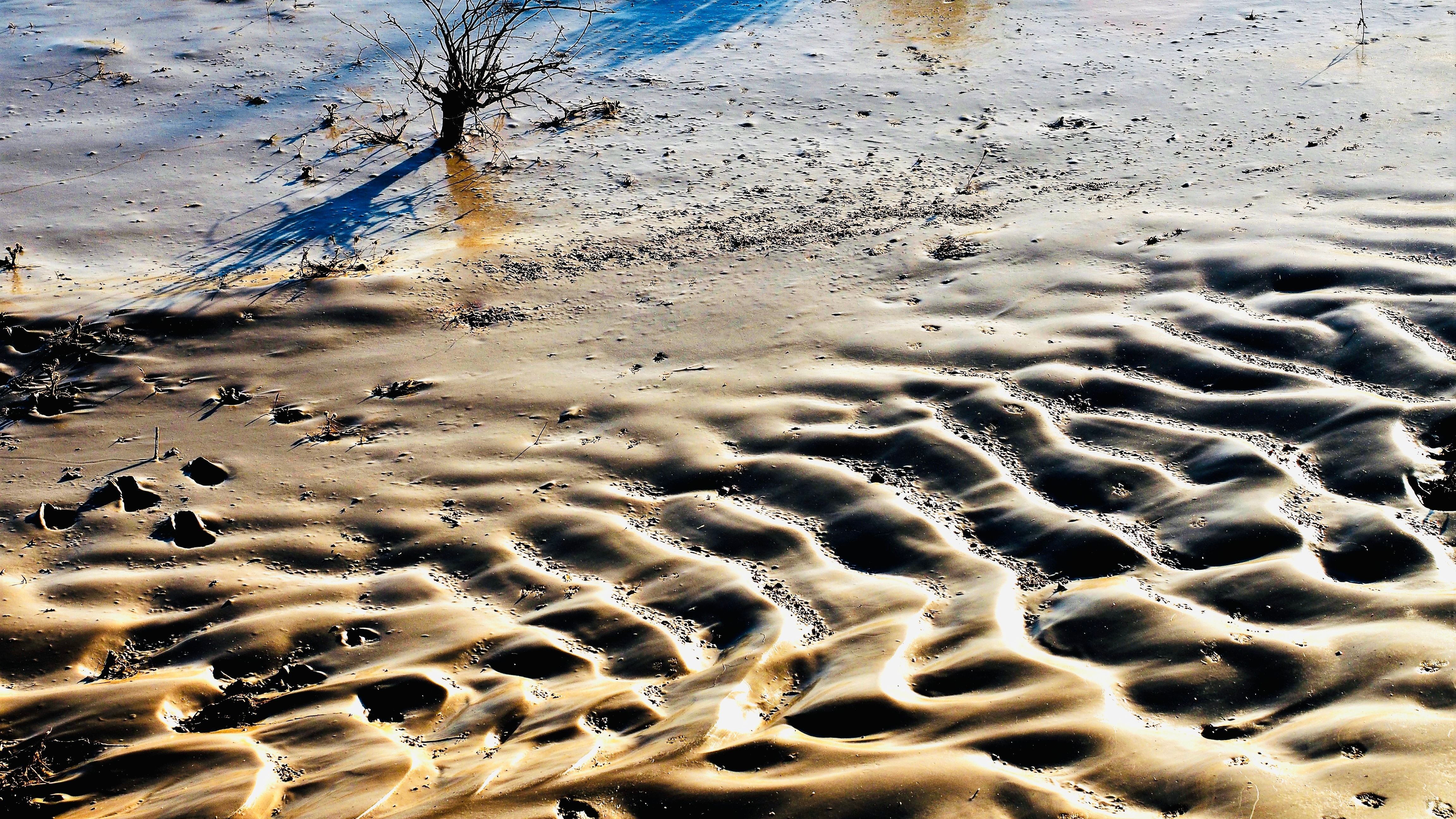
600,000-acre Anza-Borrego Desert State Park is located in the Southern part of San Diego close to the Mexican and California border. It is also one of the largest state parks in the North America.
Inside the park, there are eleven major trails, although some of the trails are wilderness. Many great high-clearance roads remain open to the public. Four trails include some rough terrains. It is very important for the visitors to stay on the designated roads inside the park. Sometimes these rough trails would be closed for the visitors.
Only street-legal vehicles are allowed in the park. The motorists who have an urge to cross the open land may head directly to the Ocotillo Wells State Vehicular Recreation Area. Before exploring the Anza-Borrego State Park, the visitors are suggested to stop by the unique Visitors Center located on the west end of Borrego Springs.
Once you arrive at the parking lot of the Borrego Springs, the visitor center can be easily seen. If you follow the signs go downhill east of the parking lot, you would enter the park for free with no entry fee to be charged.
Although a few trails are rough and difficult to get through, most of the trails in the park are favorable for the average SUVs. The visitors are advised to stay on the designated routes.
For the motorists who look for off road travel need look no further than the 70,000-acre Ocotillo Wells State Recreation Area which provides a good number of well established trails. Three-fourths of the park in the westside allows off road travel. The moonscape terrain is enormously popular with the owners of the ATVs (All Terrain Vehicles), including dirt bikes, jeeps and SUVs. Campgrounds, armadas and modern vault toilets are strategically positioned throughout the park.
The motorists who are looking for the ultimate challenge can test their suspension and lockers at a nearby Truckhaven. Some of the most remote backcountry in California can be found in the southern portion of the Anza-Borrego Desert State Park.
Smugglers Cave/Elliot Mine literally sits at the Mexican border. It is possible for you to encounter the illegal immigrants crossing the border to get on the southernmost trails. You might appreciate the dominant presence of the U.S. Border Patrol agents.
Several trails offer significant challenges to the motorists, including the Pinyon Mountain Road. You will find yourself to be squeezed for getting through. You will learn why the folding-in mirrors were invented.
Sidewinder and Bronco Peak trails, which are located at the farther south in the Corral Canyon OHV Area, offer serious rock crawling for the hardcore enthusiasts. The area also has plenty of open space for ATVs and dirt bikes. SUV drivers would not be disappointed either. They can start at the Moderate Los Pinos Lookout in the park, head north to a manned lookout tower, then circle back around the perimeter of the Off-Highway Vehicles area.
Finally, when you have had enough of the hot desert, you may head uphill to the beautiful little mountain town of Julian. Before hitting the wilderness off road, you need to check your vehicle for top condition, determine where you go and when you plan to return. Be as specific as possible, it is better to inform a friend or relative of yourself and call them when you return. If something goes wrong, you would have the comfort of knowing that at least someone knows where you are.
You can consider to travel with another vehicle from your friends or relatives, your chances of getting stuck in the backcountry are immensely reduced with two vehicles. If one vehicle breaks down, you have a back-up alternative. You should not forget to bring a GPS with coordinates, compass, map, extra gasoline, and at least one spare tire, of course with water and food. You do not expect any cell phone signals to be available everywhere.
Coordinates 33*15’33”N 116*23’57”W
- NAPCA Column 18: About the One Big Beautiful Bill Act
- San Francisco Real-Time Investigation Center (RTIC) equipped with drones and advanced technologies now fully operates to help keep the city safe
- The community blessed for two Chinese American Police Chiefs in a row to lead San Francisco Police Department
- San Francisco newly-appointed D4 Supervisor Alan Wong votes for Family Zoning Plan in his first full board meeting
- Opinion: My concerns about negative impact of road constructions to traffic and communities in SF’s Chinatown and Sunset
- Tech entrepreneur & political advisor Saikat Chakrabarti runs for Congress to fill Nancy Pelosi’s House seat
- Kenneth Binder appointed as San Mateo County Sheriff for a 3-year term
- U.S. Representative Nancy Pelosi to retire in Jan 2027 after 40 years in Congress representing San Francisco


