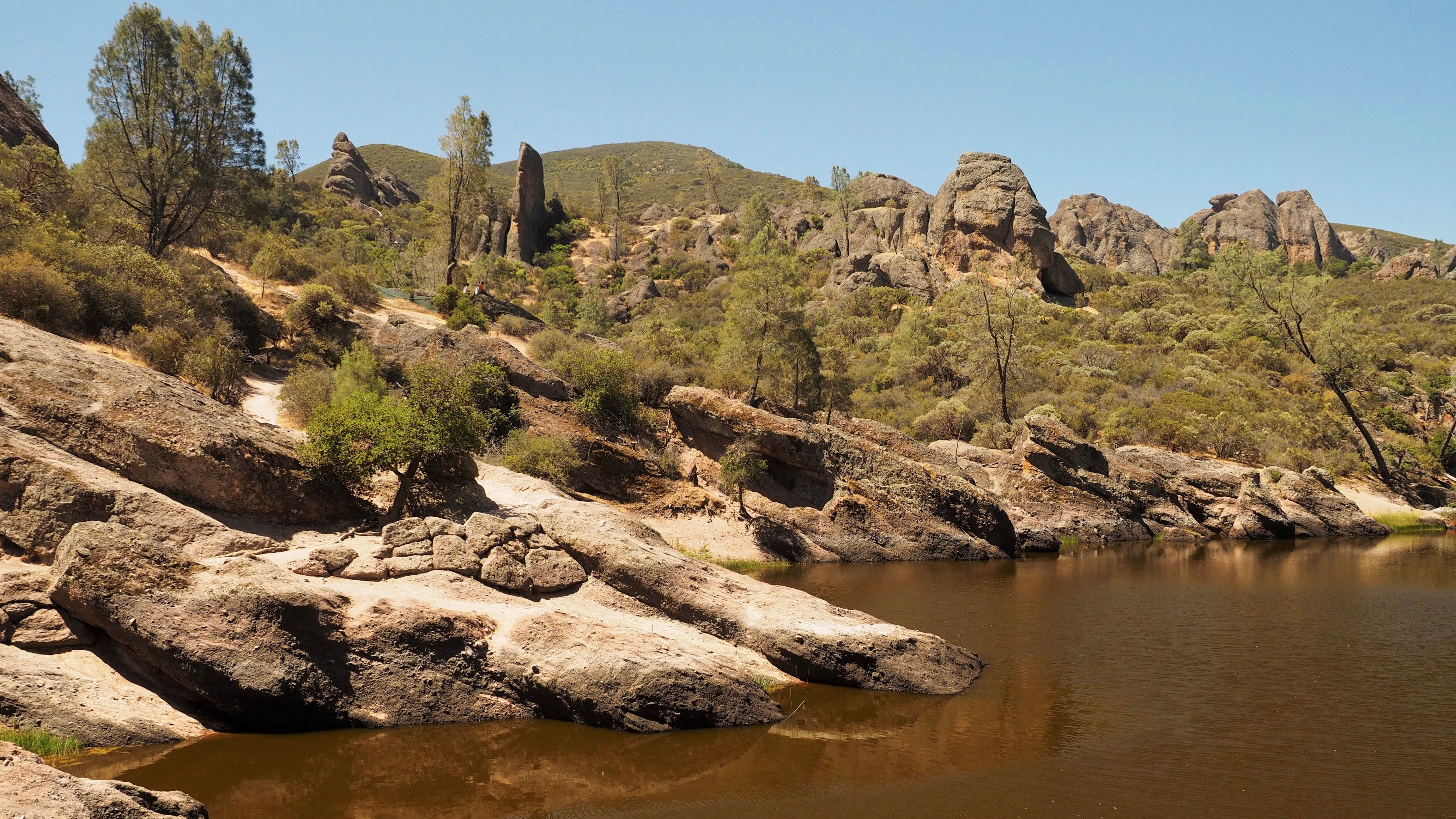
Pinnacles National Park in central California known for its rocks and caves

National Park must be established by the act of the United States Congress. 29 states and two U.S. territories (American Samoa and U.S Virgin Islands) have a total of 62 national parks. California has the most with nine, followed by Alaska with eight, Utah with five and Colorado with four. Some are famous or well-known to each other, but every single one has its own unique character.
Pinnacles National Park is only 120 miles or two hour drive from the Bay Area. If not camping, you can spend one day hiking. Some 23 million years ago, multiple volcanoes erupted, flowed, and slid to form what would become Pinnacles National Park. What remains is a unique landscape. Travelers can walk through chaparral, oak woodlands, and canyon bottoms. Hiker enters rare talus caves and emerges to towering rock spires teeming with life, including prairie and peregrine falcons, golden eagles, and the inspiring California condor.
No one can say for sure exactly when the Pinnacles volcanic field came into existence, though scientists estimate that it was twenty-two to twenty-three million years ago. What they can say with some certainty is that it began near Lancaster in Southern California. Multiple eruptions from multiple volcanoes created layer upon layer of volcanic rock.
A transform boundary had come into being. And so has the San Andreas Fault zone, a crack in the earth that stretched more than six hundred miles from the Gulf of California to the Mendocino coast north of San Francisco. Directly in the path, and now astride the two plates, was the Pinnacles volcanic field. As the newly broken sliver of California began its strike-slip displacement journey northwest, thanks to the movement of the Pacific plate, it took with it two-thirds of the Pinnacle’s volcanic mass. The journey is far from over, however, as the San Andreas Fault zone continues to slip at a rate of 1 inch/year.
In the park you can camp, hike, rock climb. Several trails have been developed for day hikers, some of which are strenuous primarily in March and April; a wide variety of wildflowers is on display, except in years of extreme drought. The trails provide views of the surrounding hills and valleys on clear days. The San Andreas Fault is visible from some vantages along the trails.
The park includes a well-known hiking portion known among enthusiasts simply as “The Pig Fence”. The portion of South Wilderness Trail is a challenging stretch of strenuous hiking that at times requires use of the fence, erected to prevent feral pigs from entering the park, to help oneself to climb the deeply pitched tail.
Other trails include lush wildflower-accented views along flat stream beds, trails that bring one into beautiful caves, and trails that involve high vistas of the Pinnacle formations. The Park is popular with advanced rock climbers due to the many difficult and challenging climbs.
From the Bay Area to go to the park, you can take highway 101 S, about 75 miles take CA 25 towards Hollister, after 13 miles turn left onto CA 25 S, continue straight for 29 miles, then turn right onto CA 146 W. It is about two miles from the destination.
Editor’s note:
In the midst of the COVID-19 pandemic, it is not easy to travel abroad by planes, but we can still take road trips driving around the lakes and mountains, enjoying the beauty of nature for vacation. Ben Kwan, a senior photographer who has travelled across the globe for decades, shares with our readers of his favorite traveling routes in the United states and his photographic works.
- In a 52-2 vote, Chinese American Democratic Club endorses to recall Supervisor Engardio as a result of passage of Proposition K
- An amnesty program in San Francisco is back through July 1, 2025 to legalize existing awnings
- Opinion: Political betrayal warrants recall
- Do empty yellow loading zones best serve the San Francisco Chinatown community?
- T&T Supermarket, largest Asian grocery chain in Canada, announces to open at San Francisco City Center on Geary Blvd. in winter 2026
- (Breaking news: Charlene Wang wins in the Oakland's special election) Charlene Wang runs for Oakland District 2 Councilmember on April 15, 2025 to represent Oakland Chinatown
- Mayor Lurie announces plans to support small businesses including First Year Free program waiving fees for new businesses
- 12 speed safety camera systems out of 33 begin to operate in San Francisco by first issuing warnings instead of citations for 60 days


